
Fort Loudoun: A Map, the Siege & the Penny Whistle
Impossibile aggiungere al carrello
Rimozione dalla Lista desideri non riuscita.
Non è stato possibile aggiungere il titolo alla Libreria
Non è stato possibile seguire il Podcast
Esecuzione del comando Non seguire più non riuscita

Fort Loudoun: A Map, the Siege & the Penny Whistle
-
Letto da:
-
Di:
A proposito di questo titolo
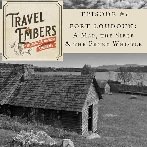
Fort Loudoun State Historic Area in Vonore, Tenn., is an early fort that was built by the British in 1756 within the boundaries of the original Cherokee homeland. During the fort's four-year existence, relations between the British and the Cherokee people broke down. In August 1760, the Cherokee captured Fort Loudoun and its garrison. Things didn't end well. Today, you can visit this Tennessee State Park Historic Site to experience the reconstructed fort and learn more about the action that took place there more than 250 years ago.
Connect with the Podcast:
Website: http://www.travelemberspodcast.com
Instagram: https://www.instagram.com/travelemberspodcast
See Henry Timberlake's Map, Draught of the Cherokee Country, 1762:
https://en.wikipedia.org/wiki/Henry_Timberlake#/media/File:Draught_of_the_Cherokee_Country.jpg
Fort Loudoun State Historic Area website: https://fortloudoun.com
Tennessee Overhill Heritage Association:
This non-profit heritage tourism initiative works to promote and preserve destinations within the historic landscape of the Tennessee Overhill in Southeast Tennessee. Learn more at https://www.tennesseeoverhill.com
Suggested Reading:
The Memoirs of Lt. Henry Timberlake: The Story of a Soldier, Adventurer, and Emissary to the Cherokees, 1756-1765. Editor: Duane H. King
Download a Transcript of This Episode